
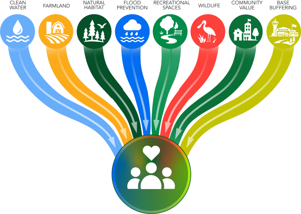
Strategic Conservation Planning is one of North Florida Land Trust’s specialties. Each property we look at or are approached about conserving gets the same scrutiny by our experts. We look at the conservation benefits that the property provides. We prioritize the most beneficial for the ecosystems and the community and determine the best course of action for the land. We have now taken our expertise on the road, so to speak, by collaborating with local governments to design and implement locally financed land conservation programs. We call it Greenprinting.
Greenprinting is defined as a strategic planning process used by communities for land conservation and green space mapping. It is an adaptable, collaborative, strategic approach that reveals the range of benefits nature provides to a community and suggests ways that a community can protect or enhance those benefits.
We began our Greenprinting journey by partnering with Nassau County to develop the Conservation Land Acquisition and Management (CLAM) program. We met with elected officials, conducted surveys to get public input, and held community meetings before establishing a plan that identified, ranked, and assessed conservation lands for acquisition and management. The community then voted on a referendum to adopt and fund the plan, which passed with 68% of the vote. The success of this effort created a blueprint that we used in a similar initiative in Clay County. The Clay County Land Conservation Referendum passed with 73% of the vote. We have since assisted Highlands and Citrus Counties with their Greenprinting efforts.
With the successes in these counties, we developed Common Ground ~ A Land Conservation Guide for Local Governments. It is a practical, step-by-step roadmap for communities interested in creating Greenprints. We first presented Common Ground at the Florida Association of Counties Annual Conference in June 2025 and more recently shared our strategy and the Common Ground guide with our peers at the Land Trust Alliance annual conference, RALLY, in September.
So, what is the Greenprinting process?
Once local government asks for our assistance, our first step is to engage with elected officials and community leaders to hear their perspective; how they value the public benefits that derive from conservation lands, and how strong is their desire to protect them. The goal is for the community to make a fully informed decision on what its future will look like. We then meet with Subject Matter Experts, knowledgeable about the community, its needs, goals, and resources. We need to know what is important to the people who live there and what they want to protect. Whether it be outdoor recreation, cultural and historic resources, farms and ranches, storm protection, flood control, aquifer recharge, water quality improvement, or buffering military bases from encroachment.
Next, we define the conservation values by translating the community’s priorities into clearly defined conservation values. After that, we apply science-based analysis. We map the locations of resources that support conservation values and assess the significance of the land.
Most importantly, we engage the community by conducting public interviews and polls, both in-person and online. We work to reach much of the community, including those who might not be available or willing to attend public meetings. This step is critical as it validates what we heard from the experts and the elected officials.
Finally, we develop our strategic recommendations and provide communities and local governments with clear, actionable guidance on how best to protect conservation values and meet community goals.
Local land conservation programs are typically established through voter referenda. This is because funding for the conservation programs is generally considered “nice-to-have” rather than a necessity. Commissioners must ensure the funding does not negatively impact core services. Approval through a referendum ensures the public has approved the additional funding and provides the strongest possible public mandate. Greenprinting prior to the referendum educates the voters and the elected officials, generates a model program to be implemented, recommends project evaluation criteria, and operating principles. These elements instill confidence and trust in the program so that approval becomes more likely. We also suggest holding the referendum during a general election cycle to see a high turnout, so decisions are made by a majority of voters. Conservation programs tend to be something communities want; in fact, since 1999, 92 of the 109 referenda put to voters have passed with over 64% of the vote in favor.
So, what does Greenprinting mean for the community?
It means communities are deciding their conservation future by taking a proactive approach. They are deciding which lands matter most, why they matter, and how they will be cared for now and for generations to come.
Once voters approve adding a conservation program, local governments can begin evaluating which properties to acquire for conservation and how to use and care for them. The local governments use the Greenprinting information, recommendations, and project criteria, to evaluate properties based on what is important to the community, like water quality, wildlife habitat protection or recreational public space. Having a well-thought-out strategic conservation plan accommodates the inevitable growth while preserving the attributes that make it livable. It empowers the community to become a better place to live now and for generations to come.
Explore our interactive map to see which Florida counties already have land conservation programs.


